Account Contact
Your Cart
Pay the courier with no extra fees.
Need help? DistriNode AI can handle any task on our site.

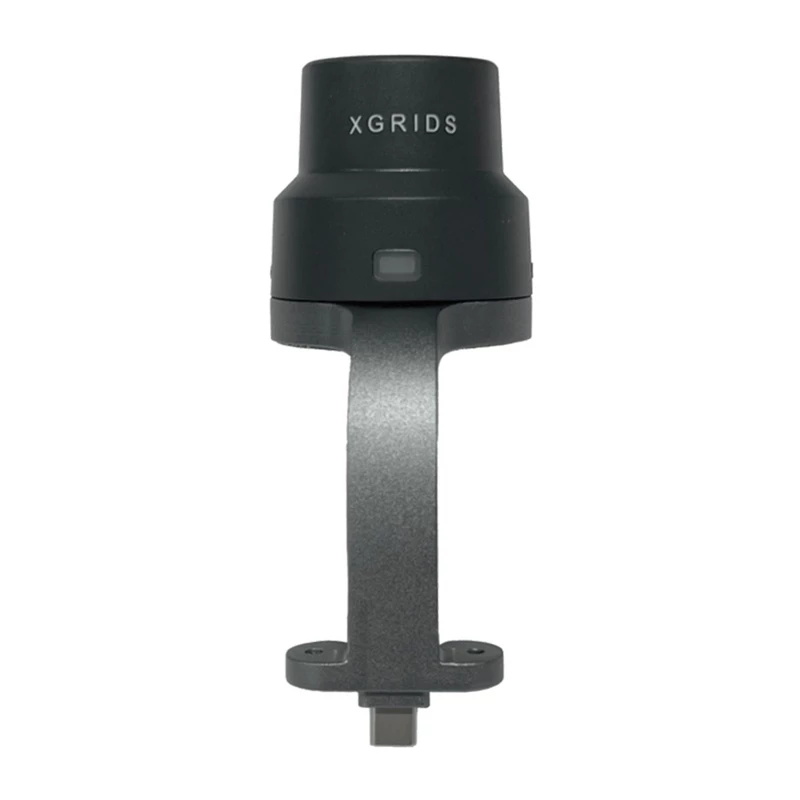
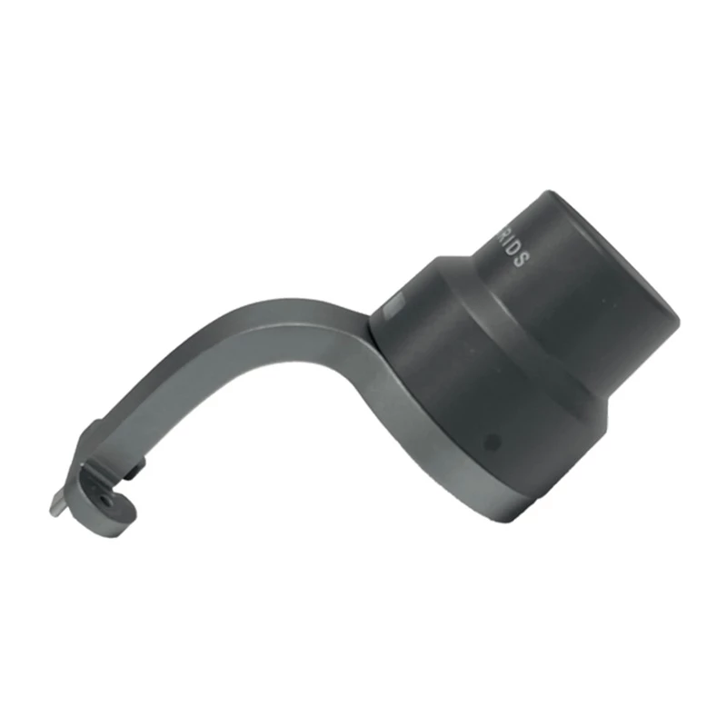
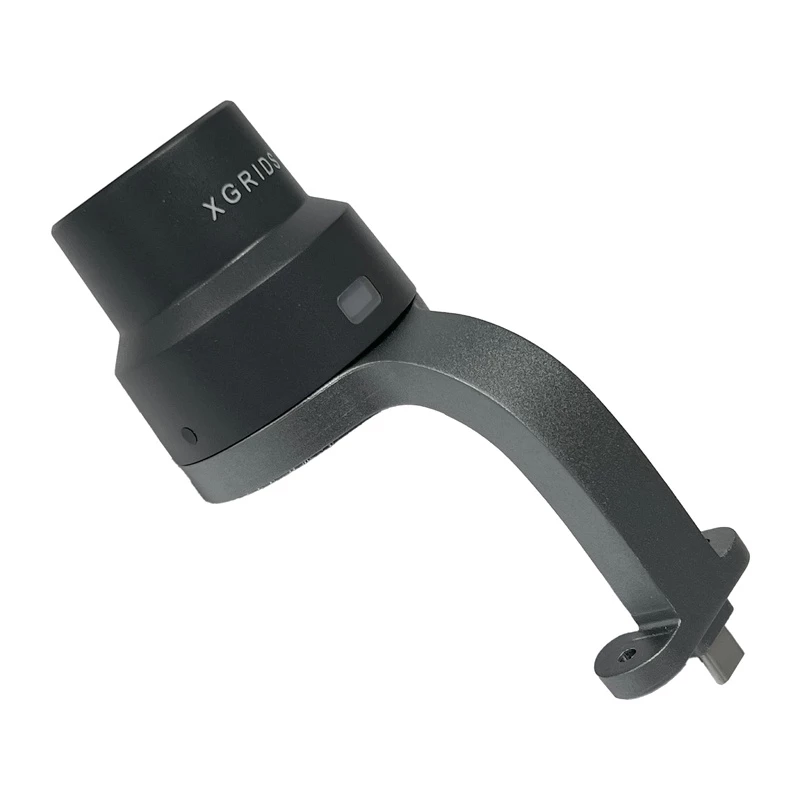
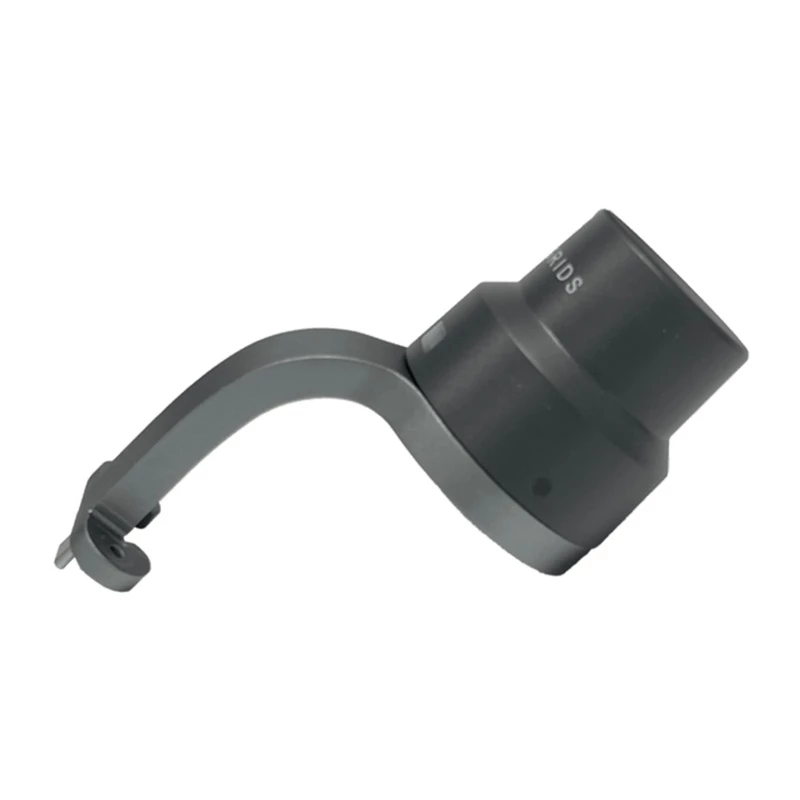
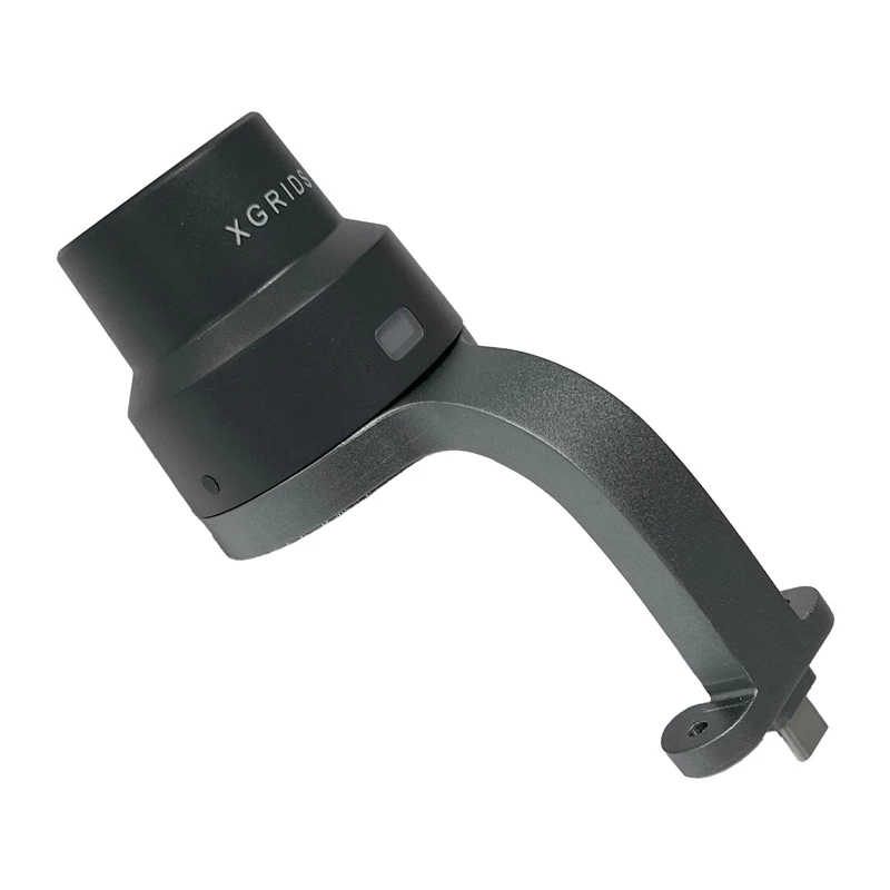
GNSS RTK Module XGRIDS LixelKity K1 Dual Frequency High Precision

GNSS RTK Module XGRIDS LixelKity K1 Dual Frequency High Precision
R17,892
The LixelKity K1 RTK module by XGRIDS is a precision positioning device that employs Real-Time Kinematic (RTK) technology to provide centimeter-level accuracy for surveying and mapping tasks. It is designed for use in professional geospatial workflows where high positional accuracy is required. The ... Read More
Stock 4 Code 876743 Brand XGRIDS Model CZ02020001 Warranty 2 Years

Shipping & Returns

Estimated delivery Thursday, October 1
You will be kept updated through our detailed tracking system
Payment options
EFTPayFastBank CardSnapScanZapperGoogle PayApple PayMobicredMoreTymePay on Arrival

The LixelKity K1 RTK module by XGRIDS is a precision positioning device that employs Real-Time Kinematic (RTK) technology to provide centimeter-level accuracy for surveying and mapping tasks. It is designed for use in professional geospatial workflows where high positional accuracy is required. The unit is identified by product code CZ02020001 and is suitable for integration with compatible receivers and data-collection systems.

Advantages

The LixelKity K1 delivers improved positional accuracy through RTK corrections, reduces post-processing time, and supports faster real-time measurements compared with standard GNSS solutions. Its design allows integration into existing surveying setups and workflows, making it practical for field use by surveyors and mapping specialists.

Key specifications

  • Manufacturer: XGRIDS
  • Product code (MPN): CZ02020001
  • Technology: Real-Time Kinematic (RTK)
  • Accuracy: Centimeter-level positioning (with appropriate corrections)

How to use

Install the LixelKity K1 on a compatible GNSS receiver or mounting platform and connect it to the data-collection device according to the manufacturer’s integration instructions. Enable RTK correction input (via base station, network RTK or compatible correction service), verify satellite reception and correction status, then perform surveying measurements following standard surveying procedures. Ensure firmware and correction settings match the network or base station configuration.

Key Highlights
  • Manufacturer: XGRIDS
  • Product code (MPN): CZ02020001
  • Technology: Real-Time Kinematic (RTK)
  • Accuracy: Centimeter-level positioning (with appropriate corrections)
Price history over the last 6 months
GNSS RTK Module XGRIDS LixelKity K1 Dual Frequency High Precision
Current
R17,892
Lowest
R17,691
Highest
R24,065
Change 24H
+R11   +0%
Week
+R201   +1%
Month
+R134   +1%

Popular products in this category

WhatsApp
Hi, I’m DistriNode’s AI assistant. I can help you find products, compare options, create quote PDFs, or open support requests.